
ALIGN STAKEHOLDERS
Give everyone the same picture of the proposal.
Turn your project into a narrated presentation, share it with stakeholders and collect feedback attached to exact locations — from project reviews to public engagement.
Slides flatten what the decision needs
A decision moves when everyone works from the same picture. Static slides lose the spatial context, long email threads lose the nuance, and questions from the room cannot be answered without the map in front of everyone.
How Vistra supports the workflow
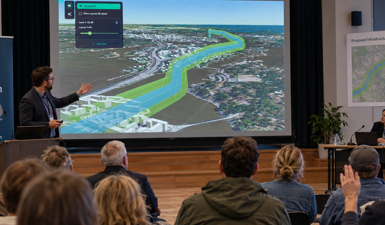
From viewpoints to a story
Sequence viewpoints into a curated presentation, share the project so anyone can explore the same context, and review feedback attached to the exact places people are asking about.
1
Curate the viewpoints
Choose the sequence of views that tells the story of the proposal.
2
Present and share
Run the presentation live or send a project link to explore.
3
Gather feedback in context
Collect located feedback and review it together with the team.
Capabilities that support this workflow
Designed for Everyone
The full Vistra experience on a phone — every viewer tool, swipeable panels, and the same map interface as desktop.
Storytelling
Craft compelling narratives with your geospatial data with presentation tools.
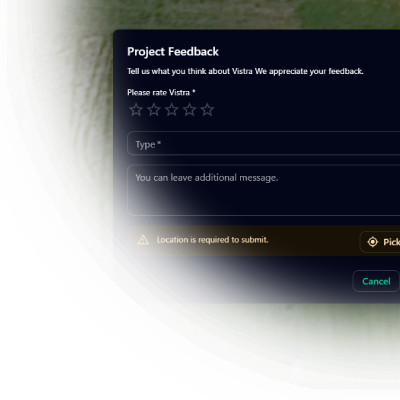
Stakeholder Feedback
Gather stakeholder feedback directly within the context of your 3D maps.
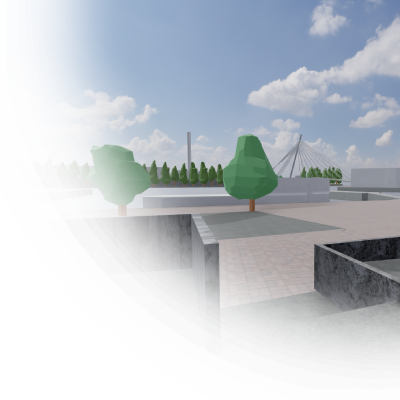
Immersive experiences
Game-like walkthroughs inside detailed 3D scenes offer stakeholders a lightweight, first-person navigation experience.
Have a project that needs a clearer picture?
Let's explore how Vistra can help you evaluate it and bring the right people into the conversation.