
CONSULT PUBLIC
Bring the proposal to the public.
Publish the project as an explorable visual context anyone can open in a browser — and collect located feedback from residents, stakeholders and reviewers in one place.
Consultation fails without shared context
Public consultation breaks down when the proposal lives in drawings and documents only specialists can read. Residents cannot picture what is planned near them, questions stay abstract, and the feedback that comes back is hard to place — so trust erodes before the decision is made.
How Vistra supports the workflow
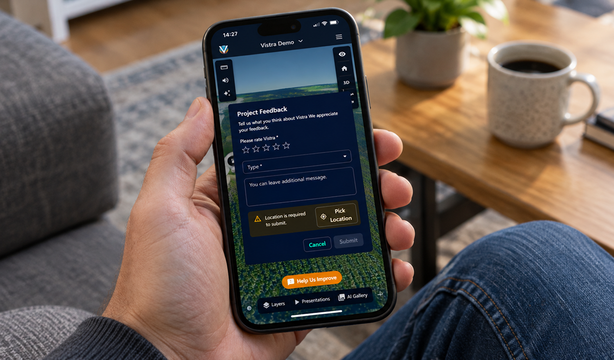
One link, the whole proposal
Share the project so anyone can explore the same 3D context — sequence the key viewpoints into a narrated presentation, let people open it on any device without installing anything, and collect their feedback attached to the exact places they are asking about.
1
Prepare the context
Bring the proposal and its surroundings into one shared project view.
2
Present and publish
Sequence the key viewpoints into a presentation and share a link anyone can open.
3
Collect and review
Gather feedback attached to exact locations and review it together with the team.
Capabilities that support this workflow
Designed for Everyone
The full Vistra experience on a phone — every viewer tool, swipeable panels, and the same map interface as desktop.
Storytelling
Craft compelling narratives with your geospatial data with presentation tools.
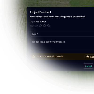
Stakeholder Feedback
Gather stakeholder feedback directly within the context of your 3D maps.
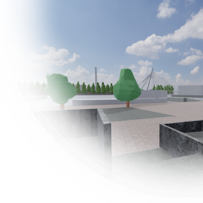
Immersive experiences
Game-like walkthroughs inside detailed 3D scenes offer stakeholders a lightweight, first-person navigation experience.
Have a project that needs a clearer picture?
Let's explore how Vistra can help you evaluate it and bring the right people into the conversation.