
EVALUATE ALTERNATIVES
Compare options while they can still change.
Test candidate layouts in the same geographic context, run spatial analyses and gather feedback — so the trade-offs between options are visible before you commit.
Trade-offs are invisible without context
Most projects have more than one possible answer. Comparing options is hard when each one lives in a separate document: the spatial trade-offs — what each option blocks, reveals or disrupts — stay hidden, and the debate goes in circles.
How Vistra supports the workflow
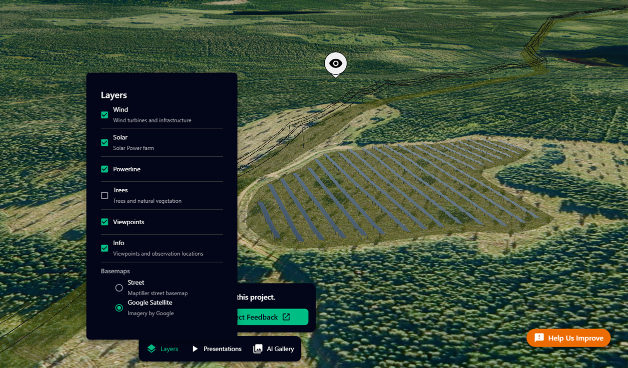
The same site, option by option
Model each option directly in the project: place the alternative layouts, check visibility from key viewpoints with viewshed analysis, visualise noise context and measure what matters — then collect feedback exactly where stakeholders disagree.
1
Set up the options
Place each alternative layout, corridor or siting variant in one project.
2
Run the analysis
Use viewshed, noise-context and measurement tools to see what each option means.
3
Compare and decide
Sequence the comparison in a presentation and collect feedback from the team.
Capabilities that support this workflow
Storytelling
Craft compelling narratives with your geospatial data with presentation tools.
Hybrid 2D/3D Visualization
Seamlessly switch between 2D and 3D views of your geospatial data.
Viewshed Analysis
Determine visible areas from any point in your 3D scene.
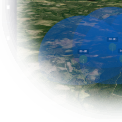
Noise Visualization
Reveal the hidden soundscape of your 3D environment. Visualize noise in easy-to-understand way.
Have a project that needs a clearer picture?
Let's explore how Vistra can help you evaluate it and bring the right people into the conversation.