
FUTURE URBAN AIR MOBILITY
Explore where tomorrow's urban air mobility infrastructure could fit.
Early-stage exploration for urban planners: potential vertiport locations, surrounding development and spatial relationships — as a starting point for discussion, not a formal assessment.
Exploratory visualisation — not a certified aviation safety, airspace or flight-planning assessment.
New infrastructure needs early, shared exploration
Vertiports and urban air mobility corridors are still emerging. Planners need a way to explore candidate locations against real urban context early — before formal studies — and to make that exploration visible to everyone involved.
How Vistra supports the workflow
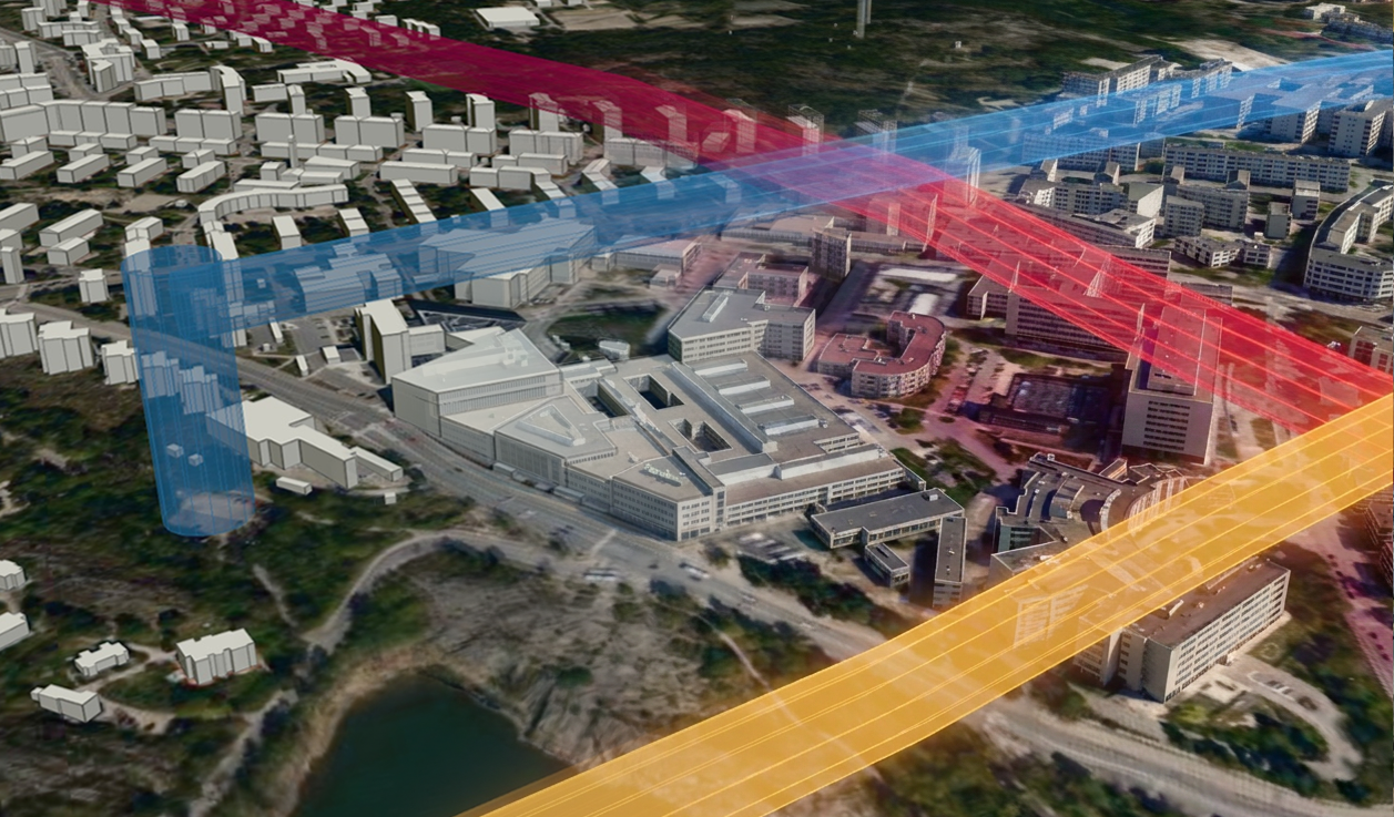
A vertiport in its urban context
Place a vertiport against surrounding development, review official-schema UAS zone datasets in 2D and 3D, and draft potential flight corridors as a basis for conversation with specialists.
1
Load the UAS zones
Import ED-318 UAS zone datasets or display them natively
2
Draft corridors and vertiports
Draft drone flight corridors and place vertiports
3
Share and gather feedback
Share the exploration and gather located feedback
Capabilities that support this workflow
Editing and Management
Orchestrate your entire geospatial ecosystem from a single, intuitive interface.
Urban Air Mobility Planning
Plan drone operations and urban air mobility — UAS zones, flight corridors, and vertiports in 2D and 3D.
Data Sources & Import
Import GeoJSON, KML, Shapefile, CSV, JSON, and ED-318 data with a guided wizard.
Live Data Sync
Keep map layers current with automatic refresh from live URLs and APIs.
Have a project that needs a clearer picture?
Let's explore how Vistra can help you evaluate it and bring the right people into the conversation.