
INFRASTRUCTURE & URBAN PLANNING
Understand the impact before construction begins.
Place infrastructure proposals in their geographic surroundings — understand the context, evaluate spatial relationships and communicate proposed changes clearly.
Infrastructure decisions are made under pressure
Road and rail corridors, utility infrastructure and urban development all compete for the same real ground. Decisions are made across disciplines, under tight timelines, and often without a shared picture of what the proposal actually looks like in place.
How Vistra supports the workflow
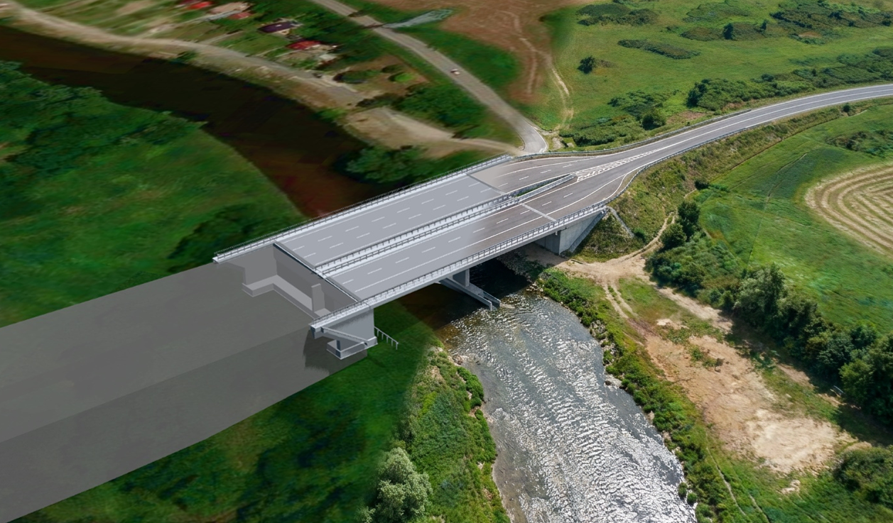
Corridors and utilities in context
Explore a road, rail or utility corridor against real terrain and buildings. Switch between 2D and 3D, measure distances and areas, and check sightlines from key viewpoints before committing to an alignment.
1
Import your data
Import GIS, BIM and 3D assets into one project workspace
2
Model the infrastructure
Model infrastructure such as powerlines with realistic sag and configurable poles
3
Share and collect feedback
Share the project and collect located feedback from stakeholders
Capabilities that support this workflow
Viewshed Analysis
Determine visible areas from any point in your 3D scene.
Editing and Management
Orchestrate your entire geospatial ecosystem from a single, intuitive interface.
Urban Air Mobility Planning
Plan drone operations and urban air mobility — UAS zones, flight corridors, and vertiports in 2D and 3D.
Powerline Modeling
Bring powerlines to life with realistic sag and configurable pole types.
Have a project that needs a clearer picture?
Let's explore how Vistra can help you evaluate it and bring the right people into the conversation.